Star Party Observing Sites

Rabbit Mountain Open Space
Rabbit Mountain is close to Longmont, with great views in all directions. Access after sunset is restricted, so LAS obtains a special use permit for specified dates and times. We usually set up in the parking lot, as opposed to holding the star party on Rabbit Mountain proper.
Sandstone Ranch Upper Parking Lot
The upper parking lot at Sandstone Ranch is near Longmont and has great views in all directions. It is a short way northeast of the Sandstone Ranch VIsitor’s Center. The limiting magnitude there is about 4.9 so it's a bit darker than in Longmont. Ball field lights are occasionally a problem. They are low to the north horizon so usually don't bother that much as we're usually looking to the south or east. Cars coming into the parking lot are more of an issue. A nearby car dealership uses full cut-off lighting so it's not a problem -- kudos to them!!

Keota Observing Site
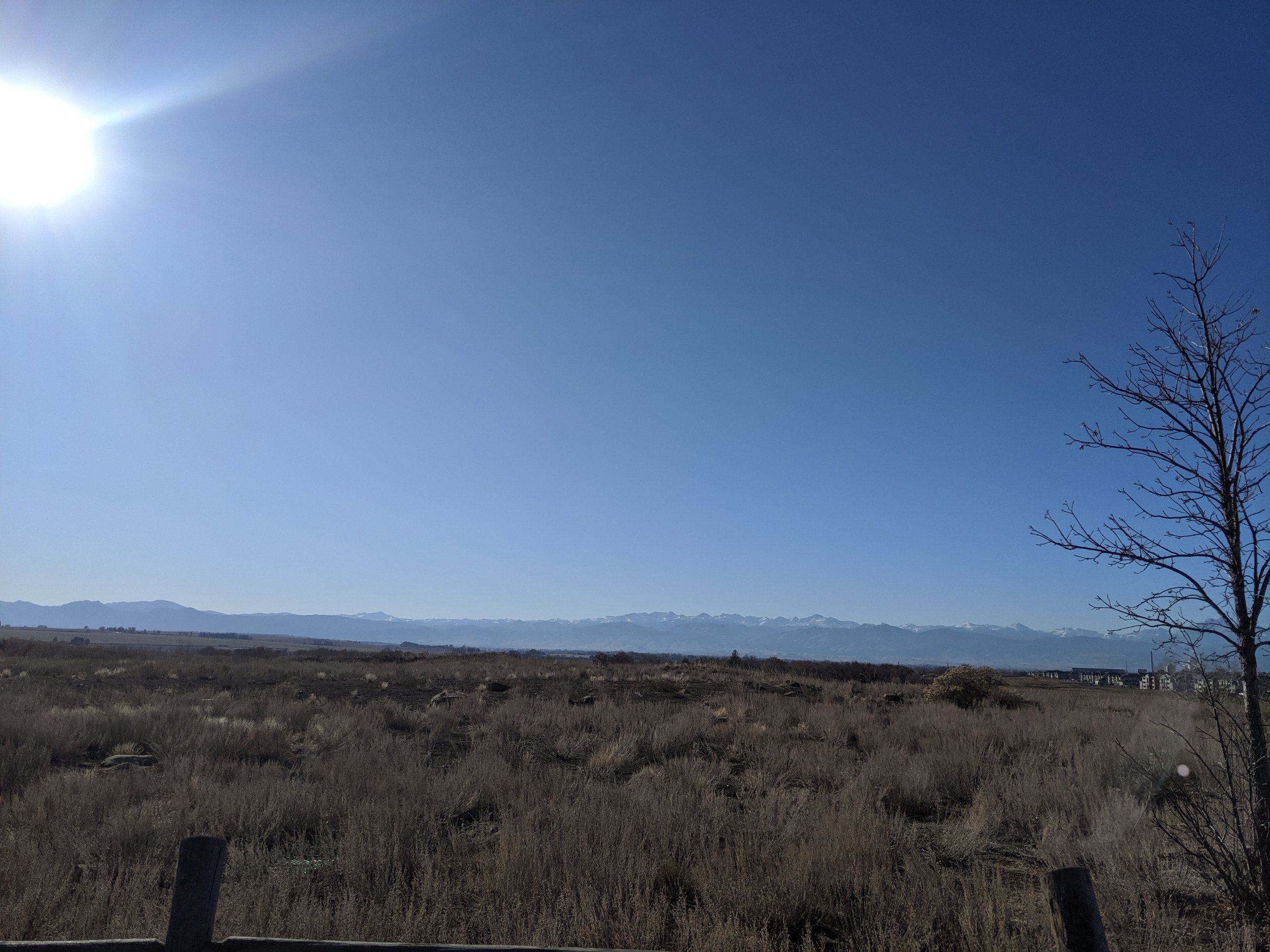
This is a quite isolated location with very little local car traffic and is quite dark; limiting magnitude is perhaps 6.5. Light domes from Denver to the southwest and Fort Collins to the west obscure maybe 20 degrees. Views in all other locations are very dark, only 3 or 4 yard lights are visible a couple miles or so away to the west and southwest. Low hills to the northwest help cut off some prevailing winds. A few cactuses are present so watch where you set up.
US Forest Service dispersed camping rules apply. Be sure to set up less than 300 feet from the center line of the road. You might want to keep in mind that the fine for illegal camping in the Pawnee National Grasslands is $20K.
Directions: From the I-25 / Hwy 14 interchange in Fort Collins:
Travel EAST on Hwy 14 for 50 miles (or 13 miles EAST from Crow Valley / Briggsdale)
Just past mile marker 189 (about 100 yards or so) turn LEFT onto CR103
Travel NORTH on CR 103 (well graded gravel road) for 3.0 miles. Area is open range so watch out for cattle.
At the junction of CR96 take a RIGHT onto the FOREST ROAD 96 trail (and this really does mean just a trail -- aka cow path)
Travel 0.5 miles to the SITE.
The location is on your RIGHT (south). There's a patch of ground around there just off the trail that's fairly bare.
Note: if you turn left onto CR96 you're going the wrong way and will eventually end up in a local farmers driveway.
Location: 1 mile south of Keota, CO in the Pawnee Grasslands
GPS Coordinates: 40° 41' 2" N 104° 4' 34" W; or 40.683889 N 104.076111 W

Owl Hollow or Flats
This is a nice observing site not quite as far as the Keota site (but not quite as dark either). It is on public land and there could be other non-astronomy folks there but it generally hasn't been a problem.
Directions: From the I-25 / Hwy 14 interchange in Fort Collins, head EAST on HWY 14 for 33 miles. Turn left/north on Weld County Road 69. Once you get to WCR 96 (the first 'major' crossroad as you head north on WCR 69), keep going another 3.6 miles north. Turn right on service road 609. If you reach Weld County Road 104, you’ve gone about ¼ mile too far north.
GPS coordinates: 40 44.1058'N 104 24.4401W